Saturday, September 23, 2017

Volcanoes

   Having a country near tectonic plates raises the chance or experiencing some of the most amazing natural hazards in my opinion, Volcanoes. I’ve always loved and had a deep passion for this kind of hazards, it si a mix of fear and breathtaking of its greatness.

     Volcanoes are an opening for the inner part of the earth that create a vent for the magma to escape. They a result of the earth crust friction and submerging under one another causing the rock to melt, and they are usually formed where the plates meet ( 90% of the volcanoes are located in the ring of fire). While the crust is going down it releases heat and other earth elements from the melting rocks, which create a pressure chamber under the earth surface and then it starts to expand, and start to push upward on the earth surface. This process shapes the surface to create the shape of the volcano. Once the chamber can no longer hold the pressure it explodes/erupted and the lava ( the melting rock) escape to form a new land.

    As on my earthquakes blog, we learned that Morocco is on the central north edge of the African plate. This location allows the country to experience a transformed fault between the Eurasian and the African plate. Due to the plates activity in the thousands years ago, volcanism occurred in the Alboran Sea (West and East basins), between Morocco and Spain, and over to the South Balearic Basin. They are now dormant, but millions of years ago was an area of intense volcanic activity, and that was part of the shifting and friction when the earth was moving around and about. The known volcanoes present in Morocco are few and most of them are extinct. However, the El Arraiche mud volcano field is currently active on the Moroccan Atlantic slope that consists of 8 mud volcanoes in water depths from 200 to 700m .  http://www.sciencedirect.com/science/article/pii/S0025322705001301

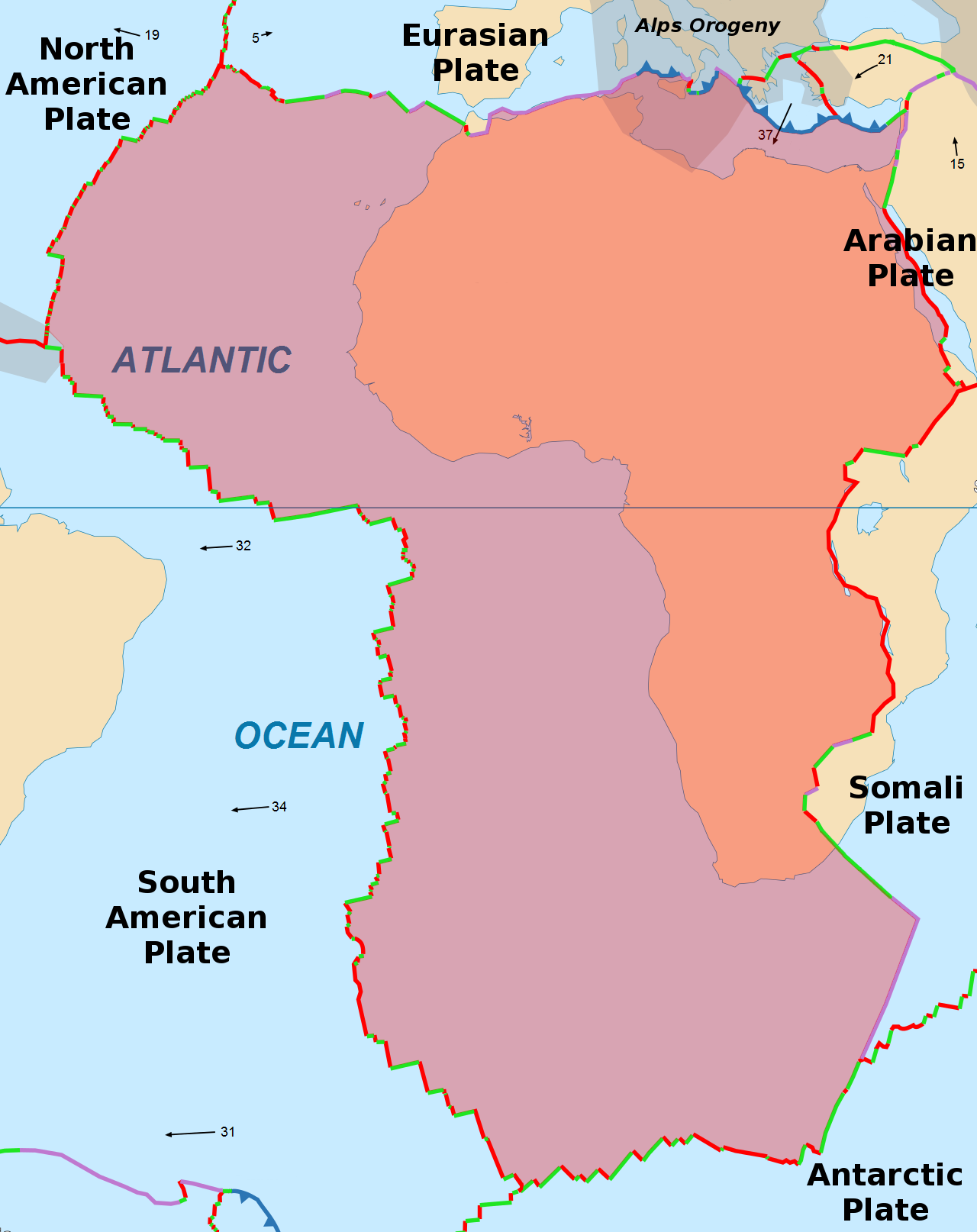
    There are also volcanic flows in the High Atlas mountains of Morocco associated with the geologic CAMP event - CAMP (Central Atlantic Magmatic Province) was an incredibly massive eruption of flood-basalt type lava that occurred only a few million years after Pangaea began to break up. It covered 10 million square kilometers, leaving its products on 4 continents: North and South America, southwest Europe, and west Africa. The flows of the High Atlas Mountains, are associated with Moroccan Meseta eruptions at roughly millions of years ago as well.
https://answers.yahoo.com/question/index?qid=20091204113057AA8bHAd 

v  Note : The Atlas Mountains are the largest and most important mountain range in North Africa, extending from Morocco to Tunisia for about 2,400 kilometers (1,488 miles) in a series of creased mountain chains. Morocco's portion of the Atlas Mountains includes the Middle Atlas, High Atlas, and Anti-Atlas.  http://www.nationsencyclopedia.com/geography/Morocco-to-Slovakia/Morocco.html#ixzz4tLjIsnzo

     The remainder of the massive volcanoes that erupted during the Pangea is in the Anti-Atlas range. The Jbel ( means mountain in Arabic) Siroua South of the Atlas, a volcanic outcropping and a ridge of black lava that connects the High Atlas and Anti-Atlas. Siroua mountain is a stratovolcano, also known as a composite volcano, is a conical volcano built up by many layers (strata) of hardened lava, tephra, pumice, and volcanic ash. Unlike shield volcanoes, stratovolcanoes are characterized by a steep profile and periodic explosive eruptions and effusive eruptions. And another one would be Jbel Saghro are two of these ancient volcanoeshttps://en.wikipedia.org/wiki/Stratovolcano


     There is also a complex of a dozen volcanoes south of Azrou and Ifrane in the Middle Atlas region ( in the central region of Morocco) Jbel El Koudiate, Jbel Tamarrakoit, Jbel Outgui ; these extinct shield volcano usually built almost entirely of fluid lava flows. They are named for their low profile, the three main volcanic structures of the region. The most famous of these volcanoes is Michlifen, which is better known now for its ski station where tourist and locals visit each in winter.


    Since then Morocco never saw or recorded another volcanic eruption, in fact, most of the population don’t know that the country did experience volcanoes millions of years ago. The next picture is an explanation and details of the different component that goes into a volcano.


   And if you are a visual person and want to see how all the stages unfold watch the video, it is really interesting and I hope it will raise your passion for volcanoes as me because as much as destructive they can be sometimes, as much they are awesome and vital for new lands.
https://www.youtube.com/watch?v=WgktM2luLok


Friday, September 8, 2017

When earth decide to shake itself ( earthquakes)


    As we learned from the previous blogs Morocco is located at the northern tip of the African continent. Due to the position of the country it share a transformed fault that's between the African plate and the Eurasian plate.  The most natural hazards that we ( morocco) experience are earthquakes.
labeled faultBy definition earthquake is a results of two blocks of the earth suddenly slip past one another. The surface where they slip is called the fault or fault plane. The location below the earth’s surface where the earthquake starts is called the hypocenter, and the location directly above it on the surface of the earth is called the epicenter.

  tectonic plates   While the edges of faults are stuck together, and the rest of the block is moving, the energy that would normally cause the blocks to slide past one another is being stored up. When the force of the moving blocks finally overcomes the friction of the jagged edges of the fault and it unsticks, all that stored up energy is released. The energy radiates outward from the fault in all directions in the form of seismic waves like ripples on a pond. The seismic waves shake the earth as they move through it, and when the waves reach the earth’s surface, they shake the ground and anything on it.  https://earthquake.usgs.gov/learn/kids/eqscience.php
P & S waves
     The most damaging earthquake the Morocco has ever witness was in 1960, in a city named Agadir is located in western Morocco on the shore of the Atlantic Ocean. the earthquake's moderate magnitude of 5.7, its maximum perceived intensity was X (Extreme) on the Mercalli intensity scale. Between 12,000 and 15,000 people (about a third of the city's population of the time) were killed and another 12,000 injured with at least 35,000 people left homeless, making it the most destructive and deadliest earthquake in Moroccan history.  https://en.wikipedia.org/wiki/1960_Agadir_earthquake

    The country experienced more earthquakes obviously over the years across its land, but nothing was damaging as the one in Agadir. The next link is a website that keeps track of quakes that happened in Morocco in the last 30 days or so. At the time of checking it the most recorded activity was location around the north of Morocco, which is normal and expected as the area is where the transform fault is passing from.  --=>     https://earthquaketrack.com/p/morocco/recent

Friday, September 1, 2017

Morocco and Plate boundaries.


    This week discussion is about plate tectonics and how the plate boundaries effect the country of my choice. My pick was Morocco and here is a tiny introduction about it. Morocco a country located at the tip of the African continent who is known as, the door to Africa. Morocco is stretching across 3500km as coast on the Atlantic ocean from the west and the Mediterranean Sea to the north, where Europe is only 13 kilometers or 8.1 mi span of water.


     Plate tectonics is a bed or a floor that lies under the visible earth surface that we live on. In a scientific definition, plate tectonics theory dealing with the dynamics of Earth’s outer shell, the lithosphere, that revolutionized Earth sciences by providing a uniform context for understanding mountain-building processes, volcanoes, and earthquakes, as well as understanding the evolution of Earth’s surface and reconstructing its past continental and oceanic configurations. https://www.britannica.com/science/plate-tectonics

     The wide shape of the plate where the country is positioned played a role in the type of boundary. Morocco has only one unique direct boundary plate with the Eurasian plate on the north. On the book, Natural Hazards pg. 33 figure 2.4, it shows that the border is a transform fault, which means two tectonic plates slide past one another and The next image portray how it happen.
Oceanic ridges offset by transform faults and fracture zones. The arrows show the direction of movement across the transform faults.

     On the other hand, the African plate has several boundaries. The western side of the African Plate is a divergent boundary with the North American Plate to the north and the South American Plate to the south, which forms the central and southern part of the Mid-Atlantic Ridge. The African plate is bounded on the northeast by the Arabian Plate, the southeast by the Somali Plate, the north by the Eurasian Plate, the Aegean Sea Plate, and the Anatolian Plate, and on the south by the Antarctic Plate, as the next picture shows.  
The image above (in black and white) indicate high tension points that creates a type of hazards along side the African plate boundary with other plates.

     Referring to my last blog about natural hazards. I mentioned Geologic hazards like: earthquake, volcanic eruptions, avalanche and landslide, this type of hazards especially earthquakes and volcanic eruptions are usually related to the movement of tectonics plates; which create a zone of ring of fire. Morocco’s experience in geological events resume in earthquakes on its northern borders, and no volcanic activity known. The major hazard that's related to tectonic movements was an earthquake in a city called Al Hocaima in February of 2004 ‘’ The 6.5-magnitude quake, which shook the Strait of Gibraltar, just off the northern coast of Morocco. It was centered in an area 185 miles (295 km) ‘’. Between 628 and 631 people were killed, 926 were injured, and up to 15,000 people were made homeless. http://www.cnn.com/2004/WORLD/africa/02/24/morocco.quake/
     In the end, I would like all the readers to watch  the next video, which is an explanation of the dynamic of the earth plates. it is a fun and interesting short clip and you'll learn more about the type of boundaries. Enjoy it  !

https://www.youtube.com/watch?v=OinfMLdornU